威廉斯堡,布鲁克林
Welcome to the center of Brooklyn
Key for map of Brooklyn
- Black Pins represent Restaurants
- Purple Pins represent Shops & Retail
- Lilac Pins represent Fitness & Wellness
- Grey Pins represent Grocery
Transportation

Around Williamsburg
Weylin
175 Broadway
Artists & Fleas
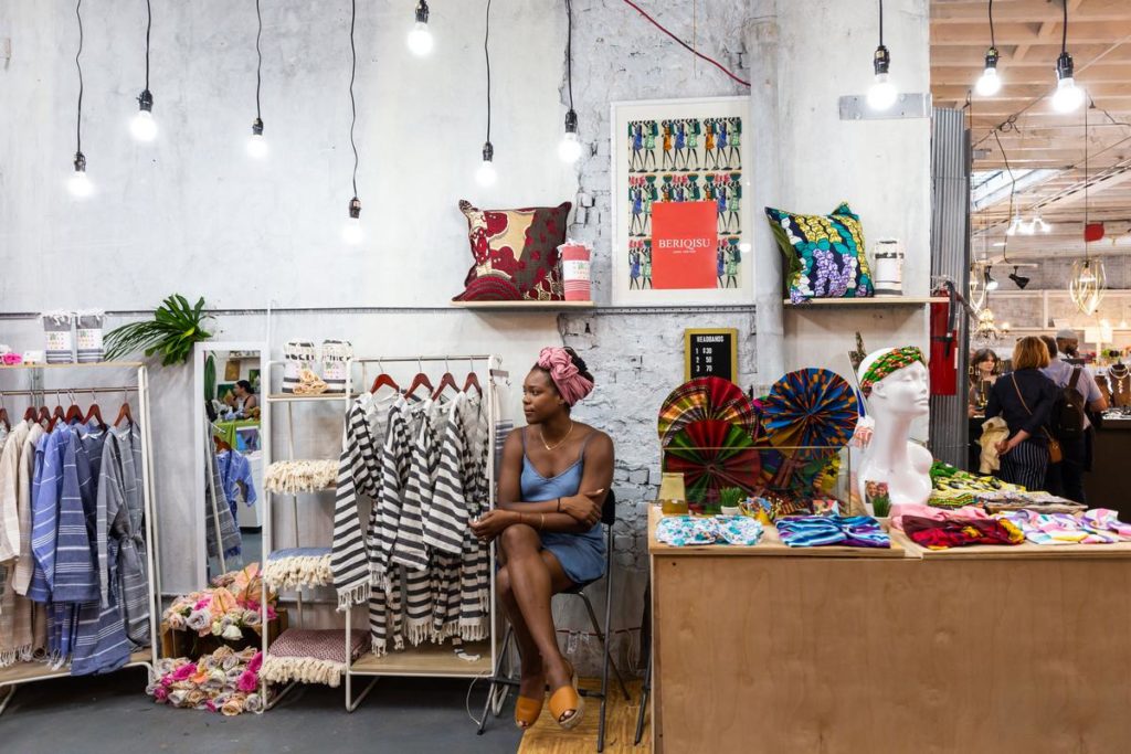
70 N 7th St
BEAM Decor
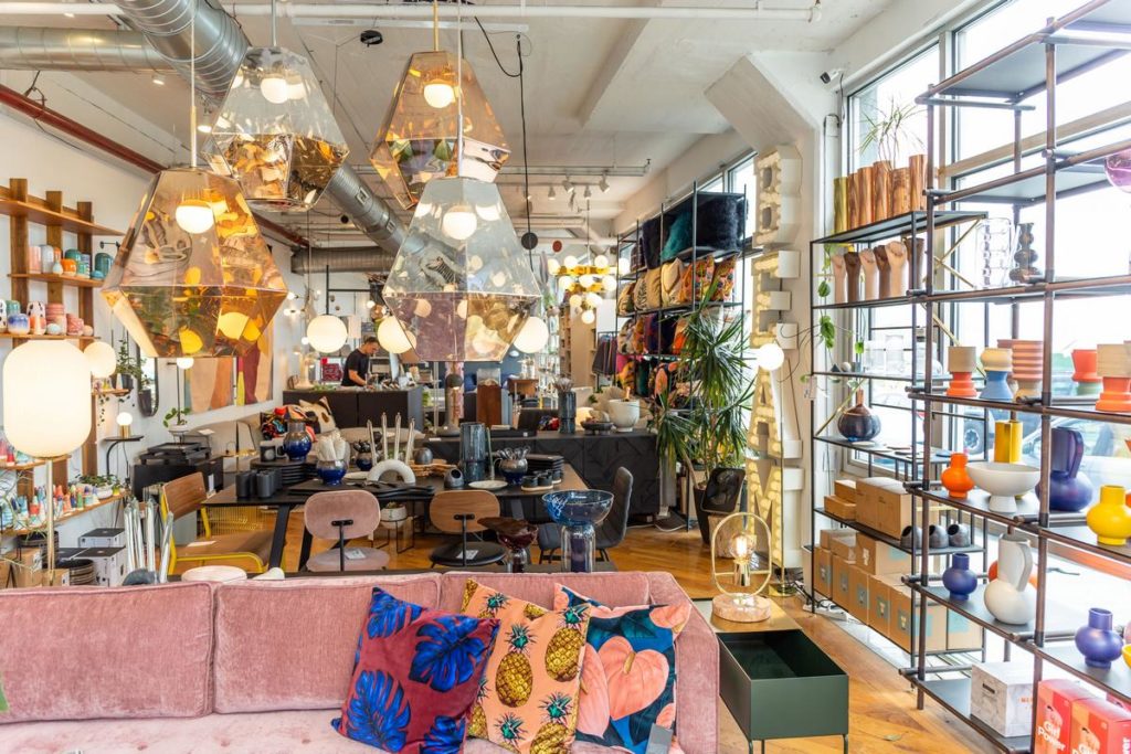
240 Kent Ave #18
Domino Park
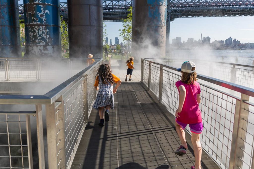
300 Kent Ave
North Brooklyn Farms
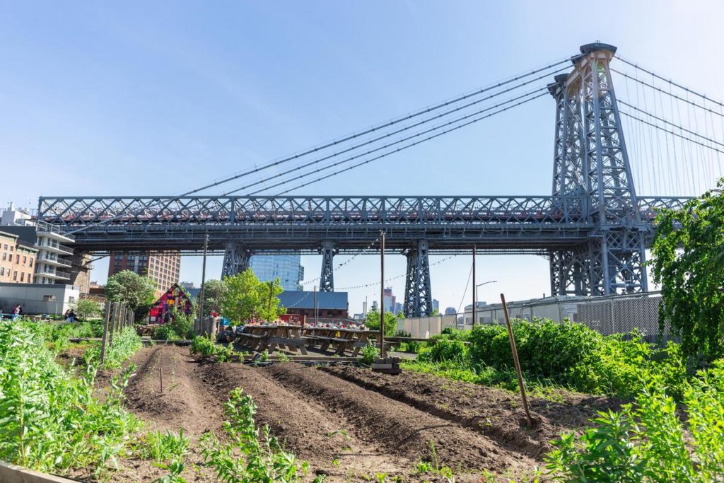
320 Kent Ave
Brooklyn Spectacles
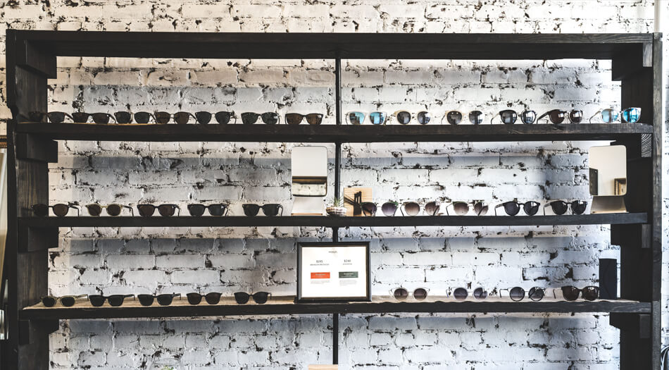
209 Bedford Ave
Van Leeuwen Artisan Ice Cream
204 Wythe Ave
The Twenty
177 Grand St

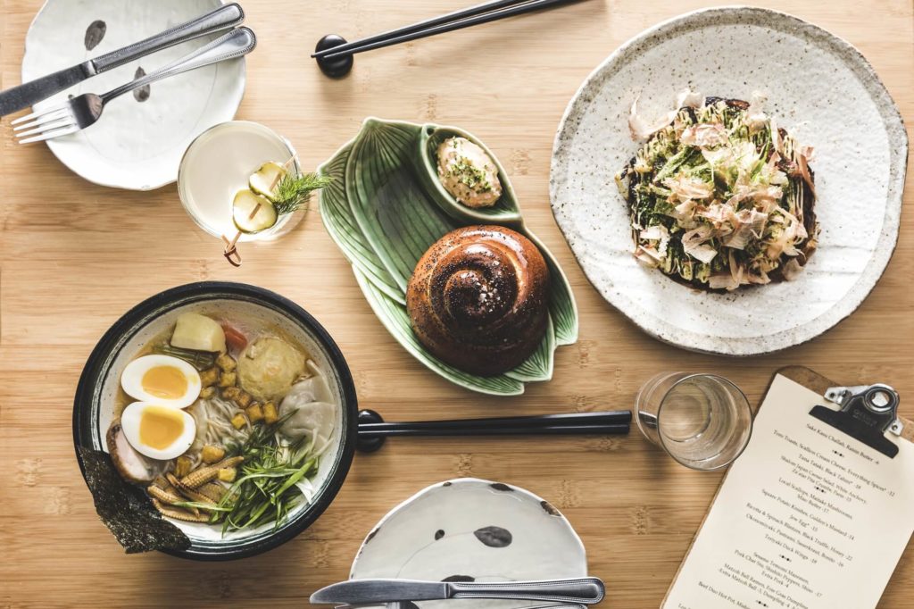
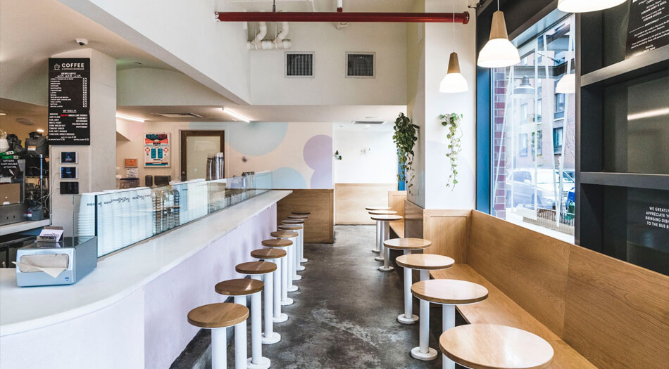
Sunday in Brooklyn
348 Wythe Ave
Reunion
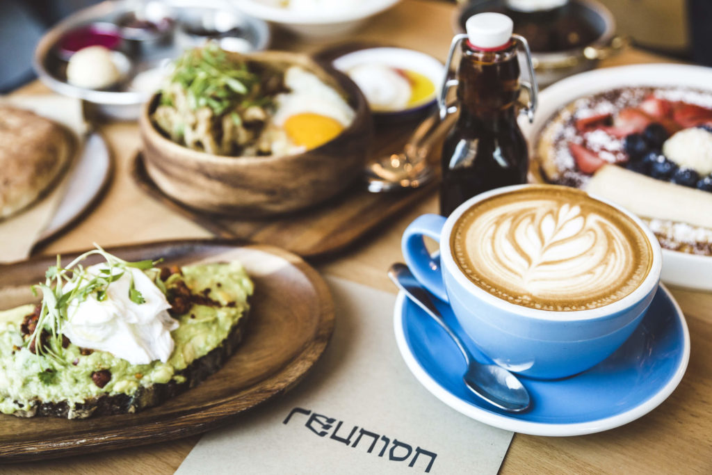
544 Union Ave
Devoción
69 Grand St
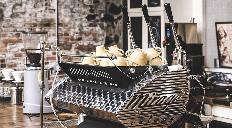
Brooklyn Roasting Company
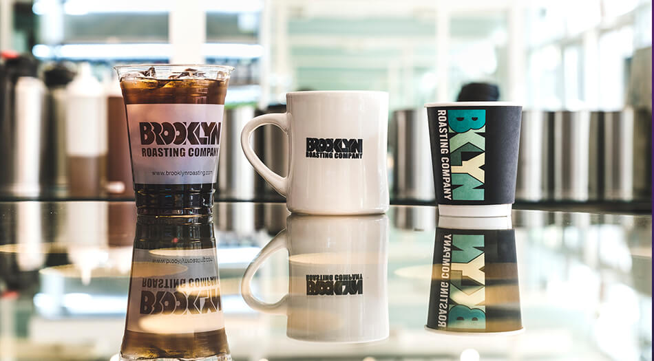
240 Kent Ave
Dream Machine

93 N 9th St
JANE Motorcycles
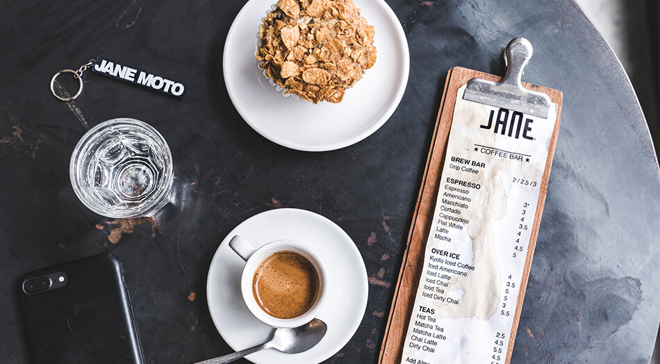
396 Wythe Ave
Fette Sau
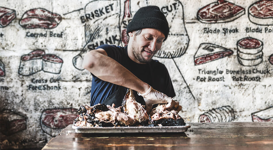
354 Metropolitan Ave
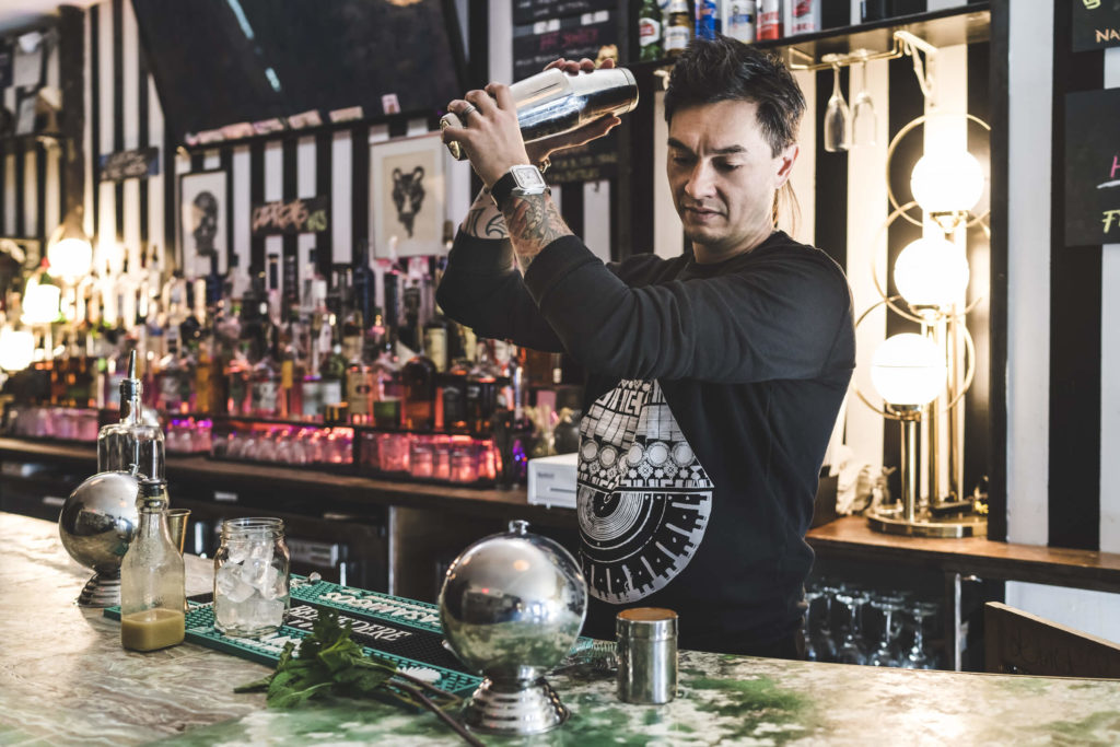
Randolph Beer
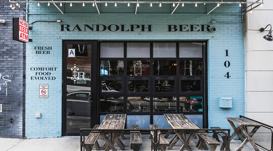
104 S 4th St
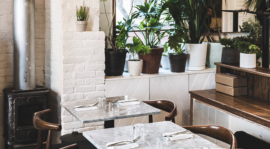
Barano
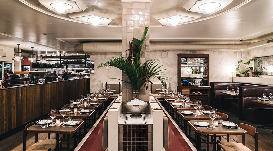
26 Broadway